
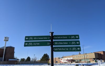
Denver Regional Trails
The Denver Regional Trail network spans hundreds of miles within metro Denver. Find more information about some of the major trails within the Denver Trail Network below.
Denver Colorado Trail Map
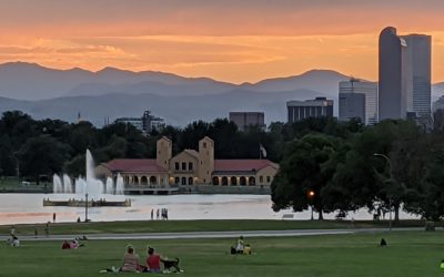
From nature walks to neighborhood history, urban hiking and walking in Denver allow you to choose the path that suits your goals, personality, and location. The City and County of Denver maintains over 80 miles of urban trails throughout Denver and hundreds of miles of sidewalk, some following along waterways like the Cherry Creek or Platte River.

Frequently Asked Questions about Hiking in Denver
Where to hike in Denver?
Taking advantage of Denver’s lower altitude, there are over 200 miles of regional trails within the city and county of Denver. A good hike to do is along the Sand Creek Greenway, where you can hike for 14.1 miles along a babbling creek, possibly seeing deer, foxes, frogs, birds, and other wildlife. For over 200 suggestions on where to hike in Denver, click here.
Are there good trails in Denver?
Yes. Denver has over 200 miles of regional trails, and most of them are relatively flat. If you want more rigorous hiking, you’ll want to go higher into the Front Range. A good hike in Denver is the First Creek at DEN Open Space, where you may see bison.
How do I adjust for altitude when hiking in Denver?
If you’re arriving to Denver from lower altitudes, you will want to first hike within the City of Denver before venturing to higher altitudes in order to adjust. Try a short hike along the Platte River near Confluence Park or the Rocky Mountain Arsenal Wildlife Refuge to get your lungs ready, then venture to the higher altitudes such as Rocky Mountain National Park. For more hike suggestions, click here.
Can I hike in Denver without a car?
Yes. Take the light rail or the A train to Union Station and hike along the Platte River Trail. Or take the light rail to Golden, then take a short bus ride or Lyft to several hikes in Golden including North Table Mountain or Genessee Park. Click here for more info.
What’s the best place to hike in Denver?
Here are the top 5 best places to hike in Denver:
- First Creek at DEN Open Space.
- Rocky Mountain Arsenal Wildlife Refuge.
- Confluence Park at the Platte River.
- Five Points Neighborhood including RiNo.
- Central Park along the Sand Creek Greenway”
Is it safe to hike in Denver?
Denver has 78 fabulous neighborhoods, most with good sidewalks, interesting parks, and friendly neighbors. You may enjoy taking a walk in Congress Park, Highland, Athmar Park, or Park Hill. For more suggestions click here.
When’s the best time to hike in Denver?
Anytime. The City of Denver does a great job at clearing the hiking trails, often even before the roads. During the winter, you may want to have ice cleats for the transition zones. In the summer, you can wear a good pair of hiking sandals. The best month to hike in Denver is October, when cottonwoods burst their gold and orange colors.
Explore Trails
Full Trails:
Trail Segments:
")
9 Creeks Loop
The 9 Creeks Loop connects the four great regional trails of Denver and creates a 42-mile adventure through urban, rural, suburban, and metro Denver.
Bear Creek Trail
The Bear Creek Trail, at 14.5 miles, is paved the entire way and is relatively flat on its eastern end. The western end rises into Morrison. It meanders through neighborhoods from Sheridan to Morrison along the Bear Creek and intersects with the South Platte River Trail and the Mary Carter Greenway.
")

Cherry Creek Trail
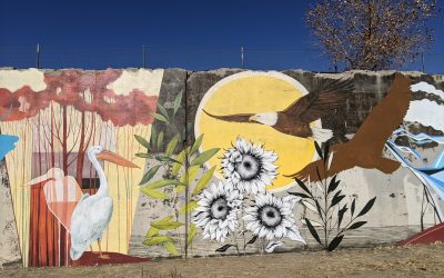
This 42-mile paved trail expands across Denver borders into surrounding communities of Aurora, Parker and Franktown. The Denver portion follows the Cherry Creek from where it crosses the High Line Canal to the Platte River at Confluence Park. Look for Denver Urban Arts’ pieces along its banks.
First Creek at DEN Trail
Going west into the Rocky Mountain Arsenal Wildlife Refuge along a 4-mile round-trip dirt trail or east under the A-Train rail tracks along 4-mile round-trip concrete path, this 8-mile round-trip trail starts you in the middle and you work your way east or west through the Great Prairie and near bison or airplanes.
")

High Line Canal Trail
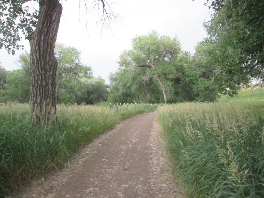
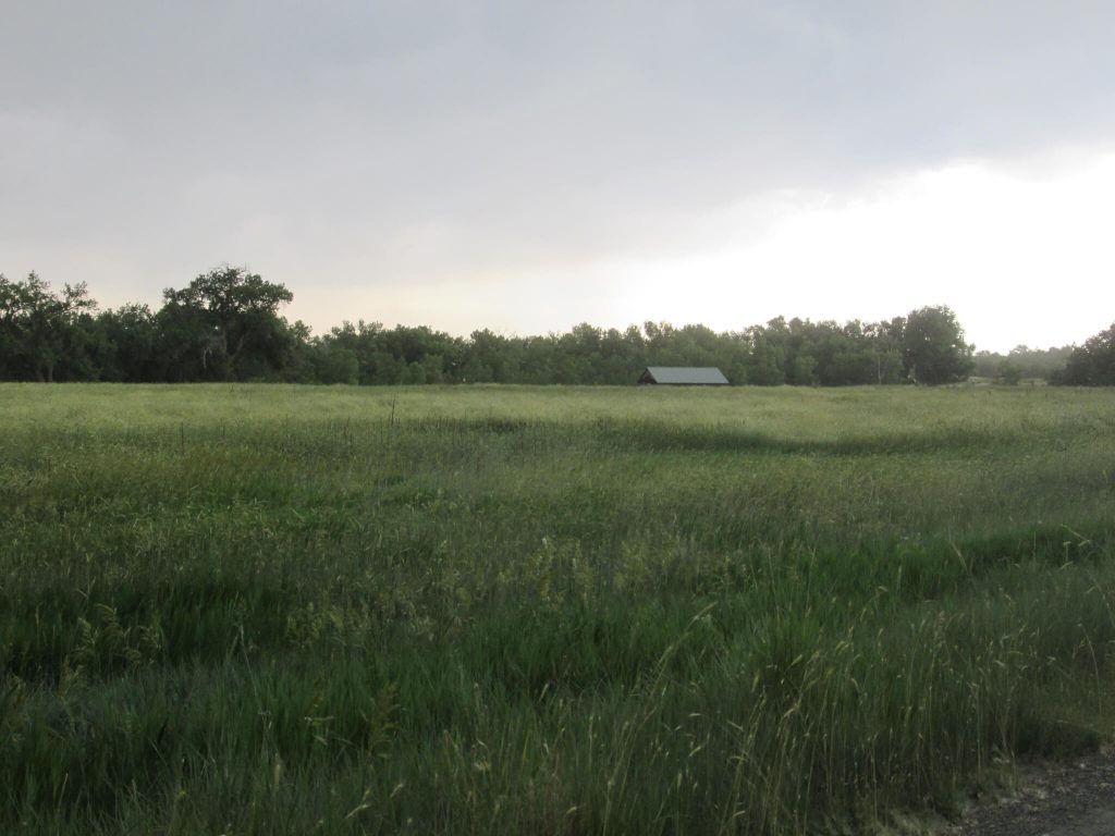
The High Line Canal and its Trail, at 71 miles long, run from Waterton Canyon to Green Valley Ranch, just south of Denver International Airport. Zigging, curving, and zagging, the trail of asphalt, concrete and soft surface, meanders through urban, rural, and suburban metro Denver. Only falling 200 feet over its entire length, the trail is relatively flat and easily traversed by walkers, hikers, rollers, and bikers.
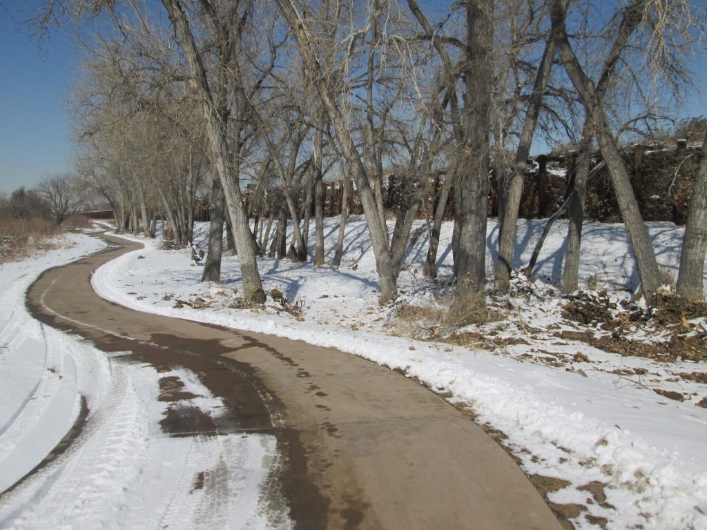
Sand Creek Greenway Trail
The Sand Creek Regional Greenway traverses 14 miles along and over some of the major byways and highways of North/Northeast Denver/Northwest Aurora. Yet the entire time you’re enjoying the trail, you’ll enjoy wilderness in the city.


South Platte River Trail
The South Platte River traverses many miles along the South Platte; the Denver portion spans 18 miles along paved pathway passing historic rodeo sites, the origin of Denver’s founding, Confluence Park, and other cultural designations. It connects with the Clear Creek Trail, the Sand Creek Greenway, the Cherry Creek Trail, and the Mary Carter Trail, among others.
The One Denver Hike You Must Do Each Month
Hiking in Denver can fill every day of the year due to the hundreds of miles of trails, more than 300 parks, and 78 neighborhoods that call Denver home. Depending on the month, one hike is better than the next. We offer the best Denver hike to do each month of the...
10 Super Fun Things to Do on Denver’s 39th Avenue Greenway
10 Super Fun Things to Do on the 39th Avenue Greenway Right in the center of Denver, you'll find a super fun greenway to explore and enjoy. Created to manage Denver's stormwater runoff challenges from City Park to the Platte River, this Greenway invites all ages to...
Sand Creek Greenway Trailheads and Segments
Hiking the Sand Creek Greenway If you want to hike the Sand Creek Greenway Regional Trail, you can hike it any way you want. Hike it all at once, in 2 or 4 segments, or a little bit at a time. It covers just more than 14 miles along trails from Aurora to Commerce City...
How to Hike the Sand Creek Greenway
How to Hike the Sand Creek Greenway From the sprawling soccer fields in Aurora to the confluence of the Platte River and the Sand Creek, you’ll pass by two nature centers, an old runway, historic Danish pig farms, metro Denver’s storm water runoff treatment plant, and...
Hiking Sand Creek Greenway Segment 4 Mile by Mile
Sand Creek Greenway Segment 4 Leaving the Wetland Park trailhead, you will meander along Sand Creek right next to I270, but you would never know it. You will see some interesting flood control infrastructure, pass by the historic Danish pig farm lots, pass the...
Hiking Sand Creek Greenway Segment 3 Mile by Mile
Sand Creek Greenway Segment 3 At Bluff Lake Nature Center, the Sand Creek Regional Greenway technically follows alongside Martin Luther King, Jr Blvd. You may prefer to walk through the Bluff Lake Nature Center and then, pick up the trail at the north end of the...
Hiking Sand Creek Greenway Segment 2 Mile by Mile
Sand Creek Greenway Segment 2 Segment 2 of the Sand Creek Trail starts at Star K Ranch, Morrison Nature Center. Here, you can often catch herds of whitetail and mule deer hanging out in the thickets and the cottonwoods along Sand Creek. As you work your way west out...

Hiking Sand Creek Greenway Segment 1 Mile by Mile
Sand Creek Greenway Segment 1 Starting on the southeastern edge of the Aurora Soccer complex, the Sand Creek Regional Greenway begins its 14 miles northwesterly. After leaving the soccer fields, you will cross the Triple Creek Trailhead and pick up the Sand Creek...
High Line Canal Trail Trailheads and Segments
High Line Canal Trail Trailheads and Segments With 71 miles of trail snaking from Waterton Canyon to Green Valley Ranch, jumping on the High Line Canal Trail is easy. But finding the trailheads can sometimes be a bit difficult. Passing through 11 jurisdictions as a...
High Line Canal: Segment 13
High Line Canal Segment 13 If you're not interested in hiking the entire High Line, buy The Best Urban Hikes: Denver, which has several hikes, out n backs, and loops that incorporate pieces of the High Line. See details about this segment, below. This segment is the...