
Grab a Tall, Fresh Glass of Denver Water on this Urban Hike through Marston
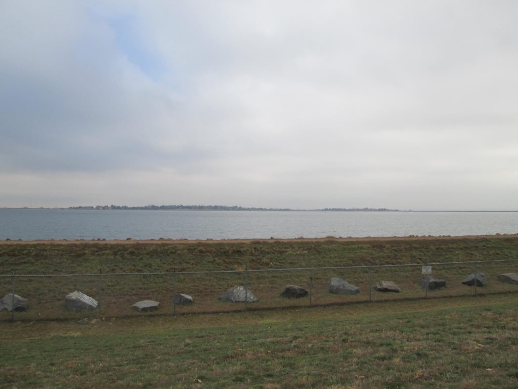
If you ever wondered where your Denver glass of tap water comes from, you need to walk in the Marston neighborhood. Way out on the west side, down south, close to Chatfield but not that close, when you think you’ve reached Lakewood, is Marston. The backwards-shaped C neighborhood includes Lake Marston–a fancy name for the Marston Reservoir, home to Denver’s drinking water supply. Piped in 12 miles from Waterton Canyon, Marston Reservoir holds 250 million gallons of water diverted from the Platte River.
Shop Exclusive Patagonia Gear today + Free Shipping on orders of $75 or more!
By the way, if you’ve ever walked up Waterton Canyon, you’ve seen the Marston Pipes. About 1.5 miles into the canyon, near where the sheep hang out, you’ll see large beige pipes exiting the south side of the Platte River from the side of the mountain. These pipes carry water to Marston Lake.
And if you wanted to learn more about where Denver’s water comes from, you could see the first head gate to the High Line Canal at two miles into the Canyon. From there, you could continue your walk along Waterton Canyon another six miles to Strontia Dam. At one time, there was a train that ran along the edge of the canyon up to Strontia Springs where people would picnic and hunt for gold. Now, Strontia dams the Platte and reserves more of Denver’s water supply.
No boating. No fishing. No swimming. But lots of drinking. Next to Marston Lake is the southwest headquarters of Denver Water. Here is where they reflow the Platte River to the Lake, clean the natural water, turn it into drinking water, then deliver it to Denver’s taps.
To learn about the history of Denver parks, buildings and artwork, buy my book Discovering Denver Parks.
Suburbia Next to Suburbia
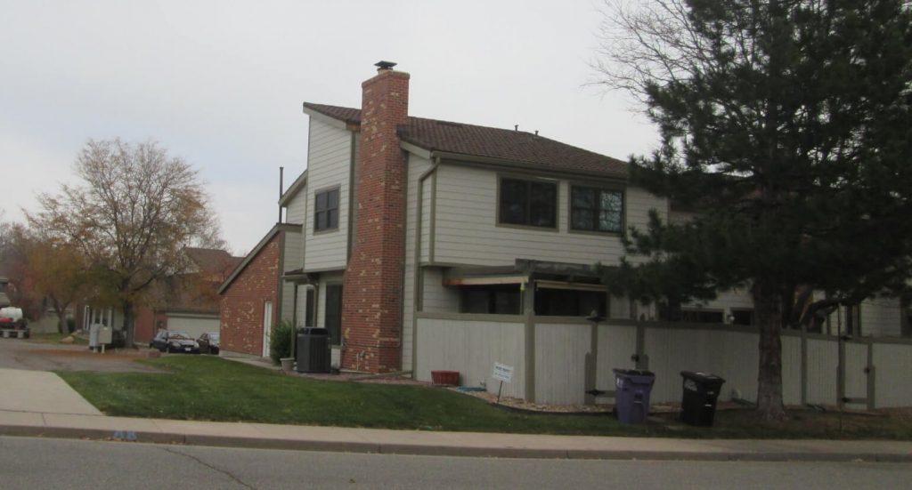
If you were looking for suburbia on the way to Marston, you’ll find it in the Marston neighborhood. Roughly bordered by Quincy, Bowles, Kipling and Sheridan with a big chunk in the middle pulled out, Marston neighborhood homes every conservative big box store you can think of and the aforementioned Marston Lake. Sandwiched in between are high-density condos, apartments and cul-de-sac laced neighborhoods of 1980-90’s homes.
Heart of Suburbia
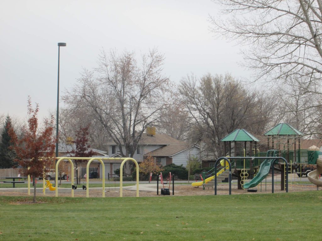
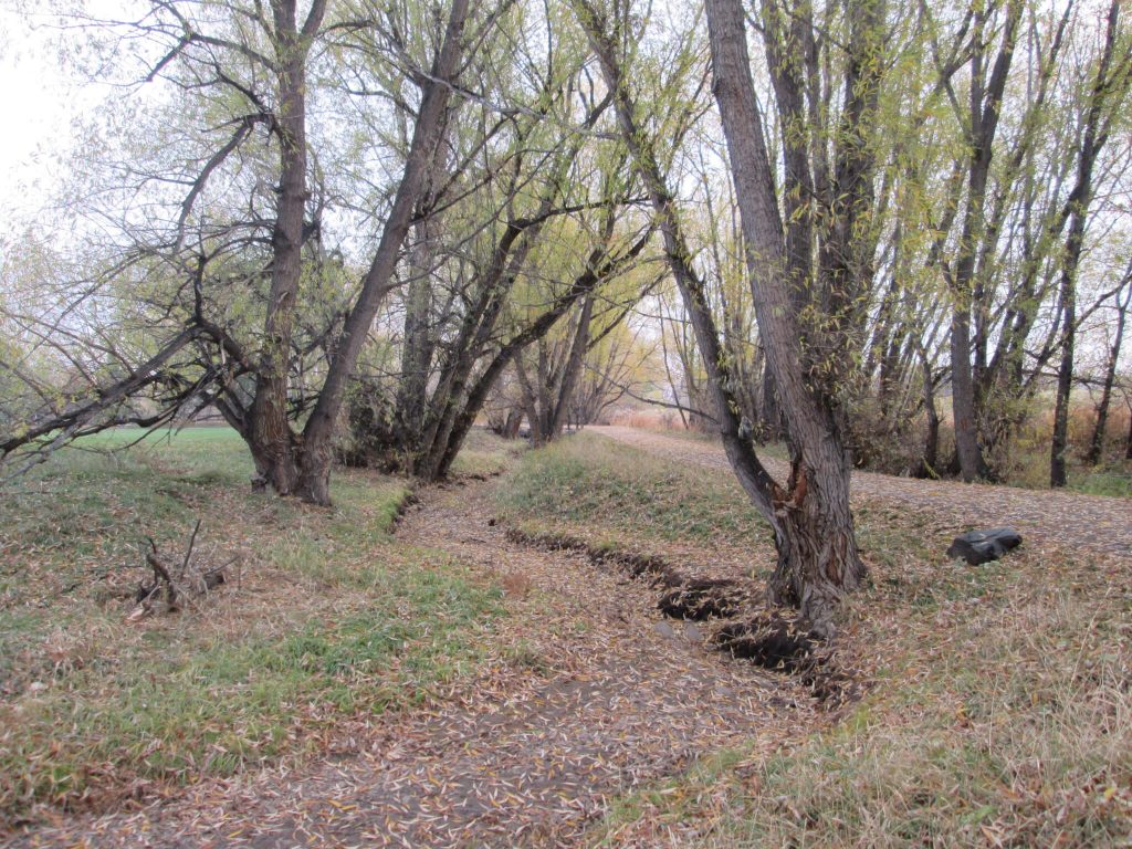
You’ll find lots of families making their way through life out here in Marston. What Marston also has going for it is a variety of good trails. You’ll have to be creative in looping them together, but the Wagon Creek Trail, running along Bowles Lateral, provides a welcome getaway from the suburban streetscapes. It stretches just south of the Southwest Recreation Center through the neighborhood to the northwest and ends in Garrison and Union Park.
The Closest Water Isn’t Close
Interestingly, the Bowles Lateral is owned by the Grant Water and Sanitation Company. This small outlying district provides water and sewage services to those who live in Grant Ranch (even though Grant Ranch is in the City and County of Denver), which is roughly the commercial properties on the east side of Wadsworth from Belleview to the medical office buildings south of Bowles Avenue. Clement Park, and Columbine Library. The Raccoon Creek Golf Course are also in the District. This area used to be Grant Ranch. Founded by Governor James Benton Grant in the late 1800s, the ranch provided food for Lowry Air Force Base and Fitzsimmons, and it even produced a Kentucky Derby thoroughbred racer.
The Route (click for interactive map):
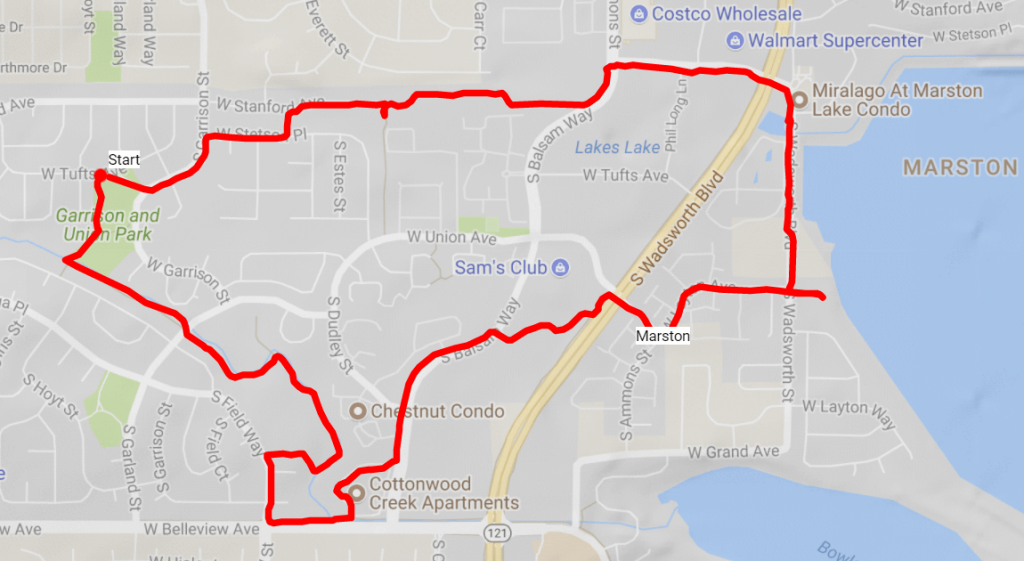
Start at 9470 W Tufts Ave. Head southerly along the Wagon Creek Trail through the Garrison and Union Park. The trail will T, take it to the left and continue following it around past the rec center and open space. You’ll go behind some condos/apartments, and end at S Field Way.
Take a left, then a left on W Belleview Ave. At the entrance into Cottonwood Creek Apartments, take a left and follow the sidewalk in the complex along the parking lot northerly. At S Dudley Street, take a left and the street will turn into Balsam Way.
You’ll be walking on the sidewalk. Cross the street and take a right on W Layton Ave, crossing S Wadsworth Blvd. You’ll walk into a condo development, and take a left on S Ammons St which is also W Layton Ave. You’ll be walking northeasterly and then easterly.
Layton will end at Marston Lake. There is a small footpath you can take to get closer to the water’s edge to take a look at the reservoir. After viewing it, return back to Layton and turn right, going north on S Wadsworth St.
Walk north, paralleling the reservoir and take a left on W Stanford Way. Cross S Balsam Way, then turn right on the trail a short distance down on the right. On a google map, this trail is called W Stanford Ave, but it’s actually a trail that runs along a concrete ditch.
The trail will dead end at the cul-de-sac of the paved W Stanford Way. Continue to S Endicott Ct, take a left.
Take a left at W Stetson Pl, then a left on S Garrison St. Take a right at the park, returning you back to your start.
Grabbing a Drink in Marston and Supporting Denver By Foot
If you’ve enjoyed this walk, maybe you’ll enjoy some other walks curated by Denver By Foot.
Follow us on Instagram and Facebook to keep updated with new hikes and adventures.
Thank you so much!
Wasn’t this a fun walk?
See you on the trail
~Chris